

TMPD Workshop: GIS/Mapping - East
Feb 6, 2020
Objectives:
- Introduce spatial thinking and its relevance to effective Lands Governance within the context of the Framework Agreement
- Present the fundamentals of Mapping and Geographic Information Systems (GIS) and discuss different Mapping and GIS software options
- Explore the ethics of Mapping and GIS as a contemporary expressions of Indigenous resurgence
- Share success stories from other FA signatory communities utilizing Mapping and GIS techniques
Workshop Overview & Agenda
Intro to Mapping
Mapping & the FA
Workshop Intro to GIS
Integrating GIS LUP EMP
RC Support for GIS & LUP
Support Services & Wrap Up
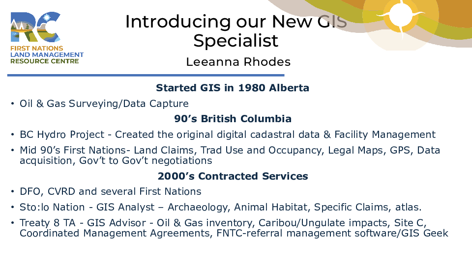
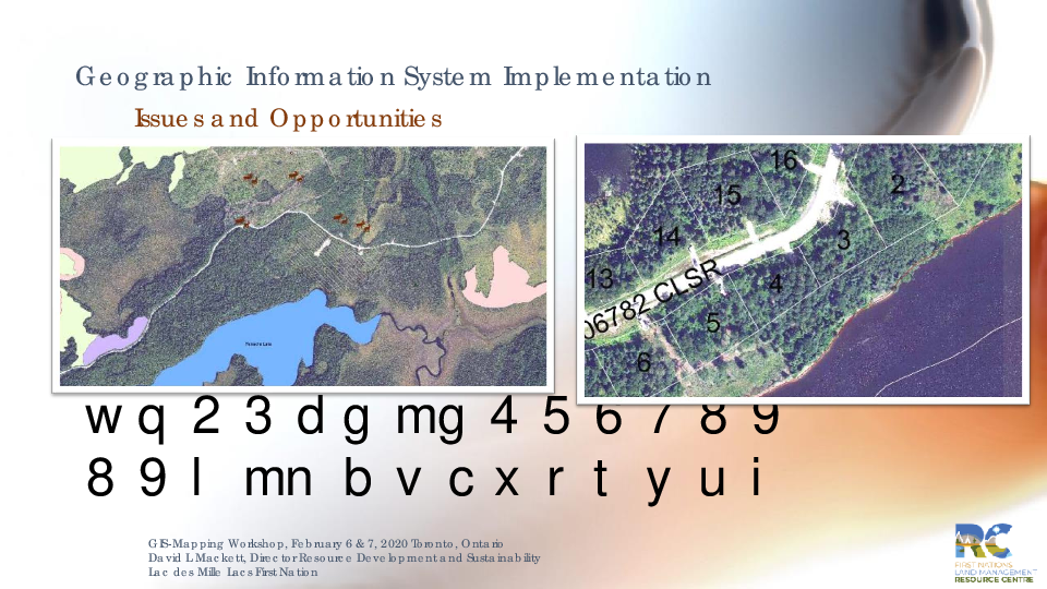
PRESENTATION - GIS Implementation - David Mackett
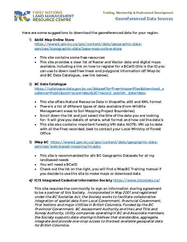
HANDOUT - Georeferenced Data Sources
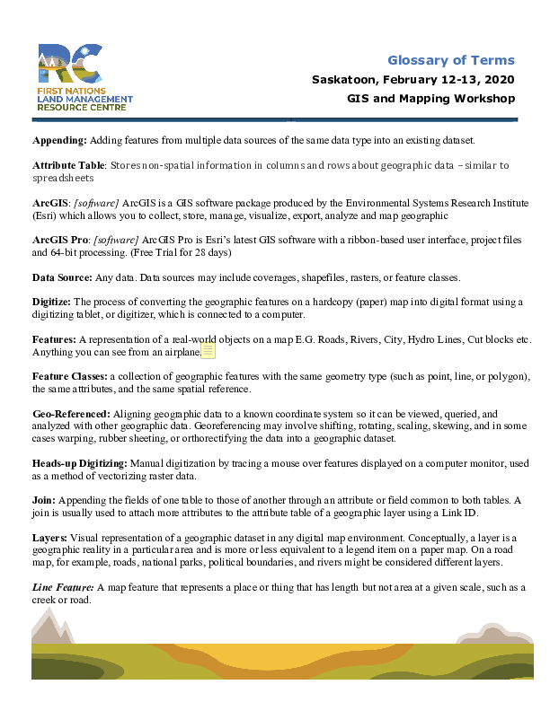
HANDOUT GIS Glossary of Terms
Last Modified: November 29, 2021